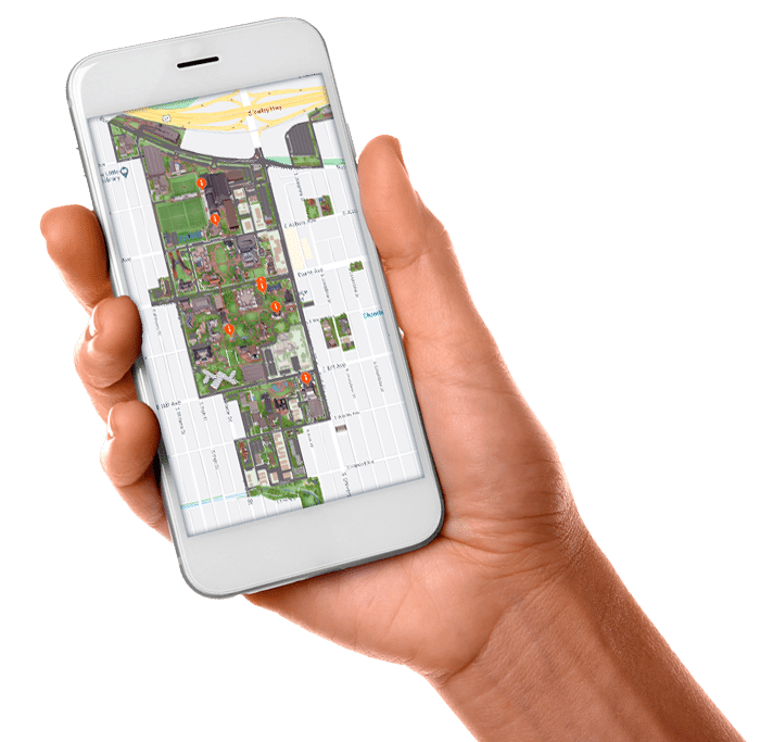
For building locations, addresses, and general parking information, please visit the DU maps page or see the printable campus map.
If you are planning an event on campus, please contact your event manager for a custom map, driving directions, and parking information.
CAMPUS LOCATION
The DU campus is easily accessible from I-25, the main route running through the Denver metro area north/south. Campus lies just south and west of the intersection of I-25 and University Blvd. Driving time from the Denver International Airport (DIA) is approximately 41 minutes.
DIA to the University of Denver
Driving Directions from DIA:
From the airport, take Pena Blvd. to I-70 West (exit to the left)
Take I-70 to I-225 South toward Colorado Springs/Aurora (Exit 282)
Use the right 2 lanes to take I-25 North toward Denver (exit 1B)
Take I-25 to University Blvd. (Exit 205)
Turn left (south) on University Blvd.
Campus runs along the right-hand (west) side of University Blvd., between Buchtel Blvd. and Harvard Ave.
Denver's Bus and Train System
Denver has an expansive, and expanding, system of public transportation called Regional Transportation District (RTD). One that recently connected the Denver International Airport (DIA) to Downtown Denver and beyond.
The University of Denver has its own Light Rail stop (University of Denver) and is located on the EFH lines.
Additionally, multiple buses connect the community to the campus with stops on both University Blvd. and Evans Ave.
Please use the following links to better understand the benefits that come with taking public transportation: